Friday, July 22, 2011

Hopkinton State Park


Hopkinton State Park is really
two separate places: the
popular reservoir & trails for
dog-walking, jogging, boating,
swimming, fishing and
picnicing to the east of
route 85, and the State Park
headquarters with hiking
trails to the southwest. The
latter is free, with parking
around the side of the park
headquarters. Also free is the Reservoir Run trail section to the south of the reservoir, with roadside parking on the unnamed drive off Rafferty Road, also with canoe access. The reservoir beach, boat launch/rental & trails cost money to enter during the warmer months.

Maps from the Massachusetts
Department of Conservation &
Recreation are available here.Link
Hopkinton State Park is a
nice place to spend the day.
But if you're trying to get
away from the crowds, either
go during the off-season or
head down to the state
park headquarters trailhead.

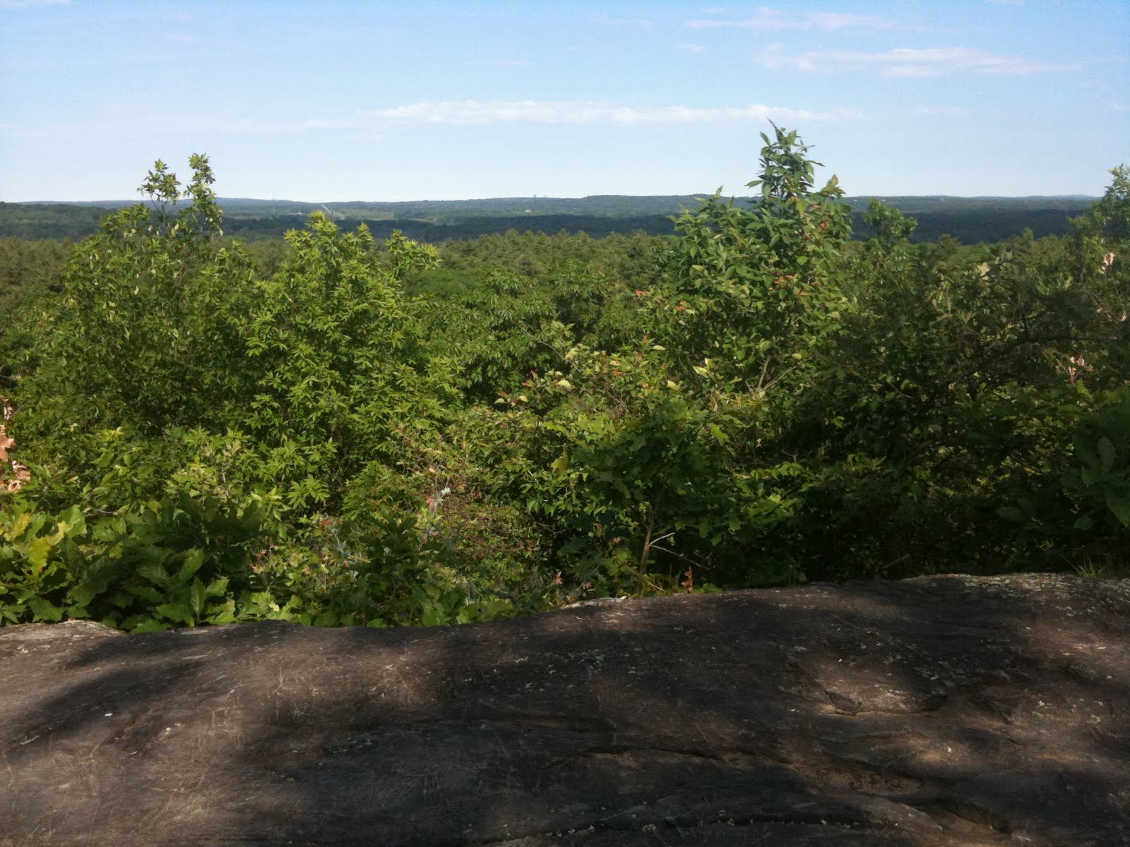
It's a decent hike out to Duck
Pond and back. I tend to avoid
the Pipeline Trail as it's buggy
and deadends into private
property, but it is fun to
explore once.


Reservoir Run is one of
the most root-filled trails
I've ever encountered.
Much of it is lined with
cedar trees, and the views
are nice, but you must
pay attention to your feet.

The main section of the
park has many trails,
roads & picnic areas.
The trails here are
generally well-traveled,
and most of them well-
marked. In the warmer
weather you can boat
out to a couple of islands
in the reservoir, and on
the coldest winter days
I have visited them over
the ice (watch out for ice fishing holes!).

If you're looking for a
longer hike here, try
the Long Trail, which
begins at the eastern
end of the swimming
pond, and skirts the
northern edge of the
park ending by the
entrance. There are
fun rocks to climb in the main section of the park along many of the trails, which make it more interesting if you've got kids along. Also (not sure if this is technically "allowed") people have a lot of fun turning the back side of the reservoir's earthen dam into a sledding hill in the winter!

Tuesday, July 19, 2011

Rauscher Farm/ Clamshell Pond

Clamshell Pond, Clinton, MA

There are many small parcels of land with tiny trails that lead to beautiful places that only the locals seem to know about. Someone mentions it, you file it for future use, and finally the appropriate "where am I going to go today?" day rolls around and you follow the obscure directions and discover another unique, out-of-the-way place.


Rauscher Farm is now owned & protected by the town of Clinton, and sits just north of Clamshell Pond. The Pond is one of the most active beaver habitats I've ever come across. I was there in early spring, and there were loads of trees in the process of being gnawed down and added to their lodges.

Clamshell Pond is located just
a stone's throw east of the
massive Wachusett Reservoir.
It's a place to come to
observe, not if you want a
long hike or a big trail. Bring
the kids to learn about pond
life, but watch out for ticks
during the warmer months!


There are rocky ledges to
climb, woods to explore,
beavers, ducks and the
usual pond dwelling
critters.


There is no official trail
map, but there is only
one main trail that skirts
the northern edge of the
pond. There is another
minor trail that leads up
into the forest near the
beginning of the trail.
A map of the property can be found here. Larger maps of the area, including conservation by the Sudbury Valley Trustees, can be found here. Conservation efforts and events are organized by the Clinton Greenway Conservation Trust here. There are some nice boulders at the edge of the pond if you like to find a quiet place to sit & enjoy the water.

Parking is near the end of Clamshell Road, by the barns, before the road turns into a private driveway. The trail access can be wet in early spring or after heavy rain.

Monday, July 18, 2011

Nobscot Reservation

Nobscot
Reservation

Sudbury &
Framingham,
MA

Nobscot
is a 118 acre
property
protected
by the
Sudbury
Valley
Trustees,
Sudbury
Conservation
Land,
Framingham
Conservation Land, and the Nobscot Scout Reservation which is part of the Knox Trail Council. The areas which belong to the Scout reservation are considered private property; no mountain biking is allowed, and dogs must be leashed at all times. Camping & cabin space is available to rent in advance.

Trail map:
Online maps are not very detailed, so I have scanned a map I obtained from SVT here.
Also helpful is the Sudbury section of the Bay Circuit Trail map here.

Main Parking: lots at the scout lodge, 1270 Nobscot Road, Sudbury.
Alternate Parking:
- Dirt pull-off (3-5 cars) across the street from 1249 Edgell Road, Framingham.
- Dirt parking area (6 cars) at approximately 641 Boston Post Road (rt. 20), Sudbury.
- Dirt parking area (6-8 cars) at 100 Brimstone Lane, Sudbury.
- Also access at end of Brimstone Lane on Nobscot Hill, park on side of road where the lane turns to dirt, before private towers.

There are many historical features at Nobscot to explore. The two main viewpoints to the east are off of Nobscot Hill and Tippling Rock.

Nobscot is full of wide
easy trails, some steep
rocky trails, and many
small unnamed trails
weaving throughout
the properties.

The Bay Circuit Trail
winds through the
northern section of
the reservation, with a
connecting loop up to
Nobscot Hill. There is a fire tower at the
top of the 602 foot mountain. It is rarely
open, but there is a nice ledge just a
minute's walk east-southeast from
the tower towards Boston.


For a more sweeping panorama,
head up to Tippling Rock. The
exposed rock is usually clear
even in the winter. There are
views to Boston, Mt. Wachussett,
and on very clear days slightly obscured views to Mt. Monadnock.

The Bay Circuit Trail is
well-blazed, and other
trails within the scout
reservation are often
labeled. The trails on the
surrounding conservation
land are not well marked,
so bring a compass along,
and print a map.


For more info about the scout reservation click here.
For more details about Tipping Rock click here. Link

Intro

Welcome to my new outdoor blog. If you enjoy hiking, walking & nature in New England then follow along! There will be many posts organized by land parcel and/or trail. There will be lots of artsy iPhone pics of said locations. There will be trail food and trivia. And of course there will be important links to maps and information.

I live in Massachusetts, but I've also lived in New Hampshire & Vermont in the past, and hiked in every NE state. While the majority of my discussions will be about hiking opportunities closer to Boston, I hope to cover all of New England and occasional travels to the rest of the US and beyond. It'll be an adventure.